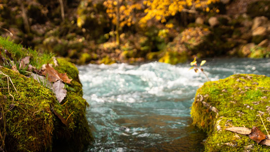
BIG SPRING – This is the largest spring in the state, and one of the largest in the world. The gem of the Ozarks, Big Spring is a must see on the driving tour. On an average day,some 278 million gallons of water gush forth from subterranean passages, swelling the nearby Current River.
Directions: From Hwy 60 in Van Buren, take Hwy 103 South 3 miles.Area Attractions: hiking, camping, pavilion, fishing, picnic, boat launch, restaurant and restrooms.
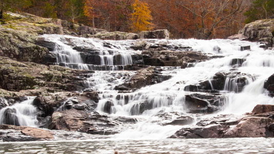
ROCKY FALLS – One of Missouri’s most scenic spots, Rocky Falls has stunning views of water cascading 40 feet over igneous rock and is accessible by car. Access to Current River Section of the Ozark Trail is available.
Directions: From Van Buren, take Hwy 60 west 20 miles to Winona, then North on Hwy 19, one mile, then right on H Hwy several miles to Hwy NN. Turn right on NN,and follow signs. Area Attractions: picnicking, swimming, restrooms, hiking and fishing.
PECK RANCH CONSERVATION AREA – This amazing wildlife area consists of 23,048 acres of rugged, forested hills and hollows including four natural areas. The Ranch’s highest point is Stegall Mountain, 1,348 feet above sea level. Rogers Creek and Mill Creek, which flow into the Current River, meander through the area. Plan on spending some time here.
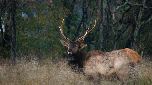
Directions: From Van Buren, take Hwy 60 west 13 miles to Hwy P, then North 3 miles to end of blacktop. Area Attractions: primitive camping, picnicking, firearms range, restrooms and a variety of wildlife including Elk.
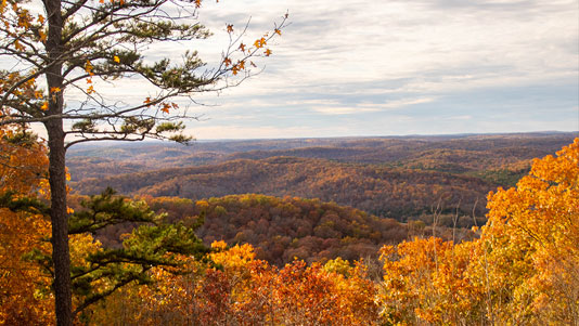
SKYLINE DRIVE – The scenic route to Big Spring, Skyline Drive is a great place to watch an Ozark sunset through scenic vistas along the Current River Valley.
Directions: From Hwy 60 in Van Buren,take Hwy 103 South 1 mile,turn right on Skyline Drive. Area Attractions: beautiful panorama vistas.
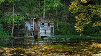
FALLING SPRING MILL – The historic mill is one of the buildings left from a small farmstead community. The spring behind the mill falls several feet into the mill pond. This is a great place to relax and picnic.The mill and surrounding land are on US Forest Service property and is open to the public.
Directions: From Van Buren, take Hwy 60 West 20 miles to Winona, then South 9 miles on Hwy 19. Turn east on Forrest Service Rd 3150, take left fork and go 2.5 miles on gravel to the mill. Area Attractions: picnicking, fishing, bird watching,
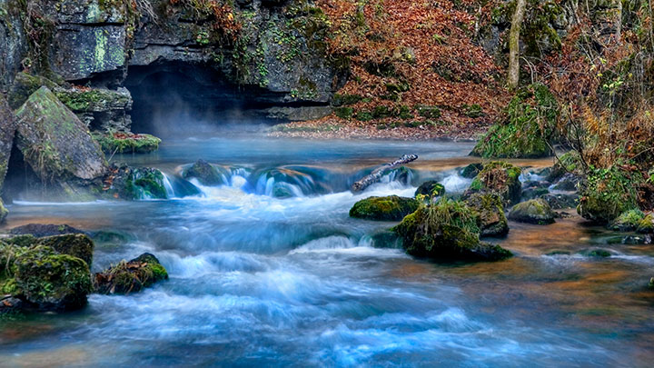
GREER SPRING – The second largest spring in the state, Greer Spring’s wilderness setting provides stunning natural beauty. The upper outlet goes past a waterfall and plunge pool and may be explored on foot.
Directions: From Van Buren, take Hwy 60 West 20 miles to Winona, then South 16 miles on Hwy 19. Area Attractions: restrooms, picnicking, hiking, and bird watching.
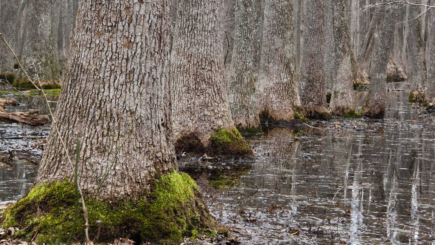
CUPOLA POND – This is one of the most interesting and ancient sinkhole ponds in the Ozark uplands. Emerging from the pond are Tupelo Gum trees, a very rare species for the Missouri Ozarks. It is truly a unique natural area. There is a short, easy hike to the pond.
Directions: From Van Buren, take Hwy 60 West 10 miles to Hwy J. Turn south and go 16 miles, then turn east on Forest Road 3224. Go 1.5 miles then turn north on Forest Road 4823. Go 2 miles to parking lot. Area Attractions: hiking and bird watching.
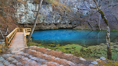
BLUE SPRING – At 310 feet, this clear spring is Missouri’s deepest. In fact, if the Statue of Liberty was placed at the bottom, her torch would be completely underwater. The blue color comes from minerals that are dissolved on the water’s underground journey. A 1/2 mile trail starts at the parking lot. Spring and trail are both open year round. Cost is FREE.
Directions: 12 miles east of Eminence, MO on MO-HWY 106.
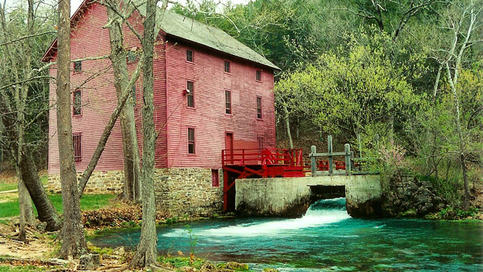
ALLEY MILL – With its three-story building and turquoise water, Alley Mill is a photographer’s delight. Much of the original equipment — a turbine instead of a water wheel and rollers rather than grinding stones — is still in place. A one room schoolhouse is nearby. Grounds open year round, mill in the summer. Cost is FREE.
Directions: 6 miles west of Eminence on MO-HWY 106.


